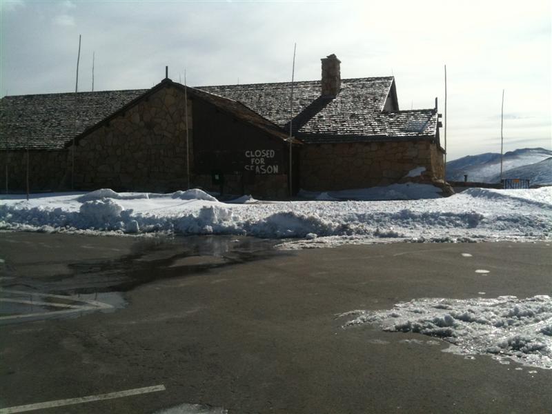
The forecast was 60 degrees, sunny, and fairly light winds and I had a few hours to spend outside. I got myself ready and left the house around 9:45, not really sure what I was going to do. I thought maybe I would run up Hallet, or maybe take the North Longs trail up to the Boulderfield, but really didn’t have my mind made up. As I drove through the Beaver Meadows entrance station, I noticed much to my surprise that Trail Ridge Road was still open! Knowing that this would almost certainly be my last opportunity this year to drive up high I set my sights on the Alpine Visitor Center.
At 10:30 I parked my car and donned all my gear and headed down the (closed) Old Fall River Road.
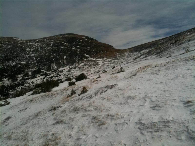
I was wearing my favorite running shorts, racing flats with short toe socks, and earband, gloves, and 3 1/2 layers on top. I ran down the road for a while until it started to go towards the east, when I got the bright idea that it would be quicker to go straight at Chapin instead of down the road. I traversed the west side of Marmot Point, and then wandered my way through the forest in the valley between Marmot Point and Chapin. The snow was mostly 3-4 inches deep in the forest, which is not enough to seriously hinder progress but just enough to be annoying. Especially when you’re wearing mesh racing flats, ankle socks, and shorts! Around 11:40 I finally emerged from the trees and found myself below the trail on the NW flank of Chapin.
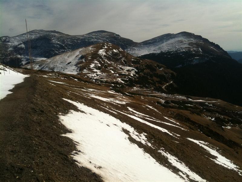
Feeling revived by the breathtaking view, I pushed up the slope towards the SE with renewed vigor and gained the top of the ridge around 12:05. It was fairly windy up there, probably 20mph or so. I stopped briefly to knock all the iceballs off of my calves in a vain attempt to warm them up.
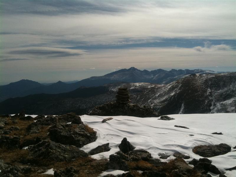
Once on the ridge, the snow was very minimal and I made very quick time, reaching the summit just before 12:15. I dropped down off of the east side of the summit about 15 feet, and took a nice break on the warm rocks out of the wind. While there, I called Lori to let her know where I was, and uploaded a pic for all my Facebook friends to see.
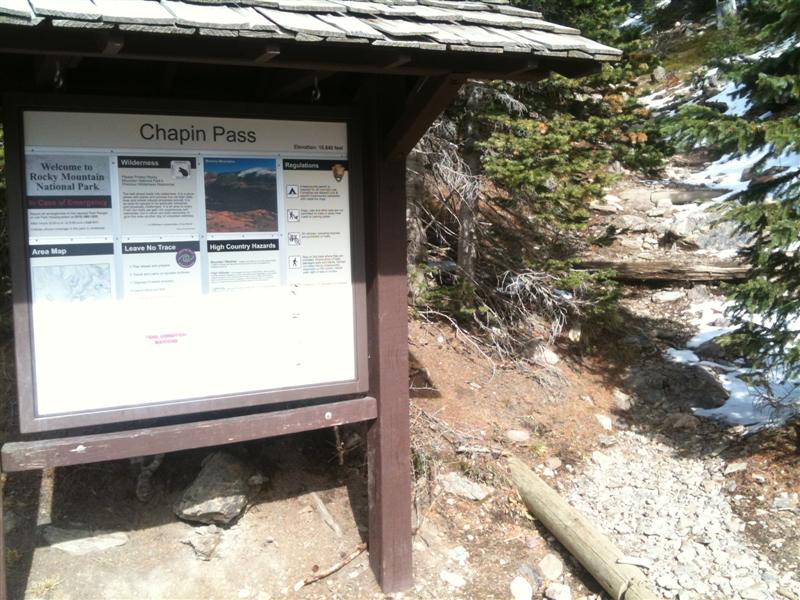
I took off at 12:30 and headed down the ridge toward the Chapin Pass TH. I learned my lesson going cross-country on the way there, and decided I would take the road back. At 1:21 I arrived at Old Fall River Road, very happy to see the sign at the Trailhead.
The road was almost clear of snow, and in great condition.
Much to my surprise, I was able to run all the way up the road to the visitor center, arriving back to the car at 1:50. I couldn’t have asked for a better day (at least this time of year) to be up on the tundra.
Here are all the pictures I took today:
[slideshow]



Comments on this entry are closed.